Postcode 341 - Minamisenju, Tokyo Prefecture
Tokyo Prefecture | Japan
| Grootste stad | Minamisenju |
| Postcode-uitbreidingen | 341-0000, 341-0001, 341-0002, 341-0003, 341-0004, 341-0005, 341-0006, 341-0007, 341-0008, 341-0009 More |
| Vergelijkbare steden | Matsudo, Koshigaya, Sōka, Nagareyama |
| Buurten | Kamihikona, Waseda, 2 Chome |
| Timezone | Japan Standard Time |
| coördinaten | 35.842697115645954° / 139.86691666443932° |
| Gerelateerde Postcodes | 331, 340, 342, 343, 344, 345, 346, 347, 348, 349 |
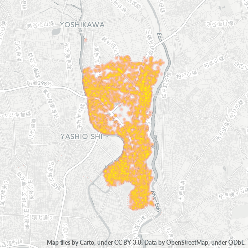
Kaart van Postcode 341 - Minamisenju, Tokyo Prefecture
Interactieve kaart
Bevolkingsdichtheid van Tokyo Prefecture
Bevolkingsdichtheid: 6.200 / km²
| Locatie | Bevolking | Gebied | Dichtheid |
|---|---|---|---|
| Tokyo Prefecture | 13,6 million | 2.187,1 km² | 6.200 / km² |
| Japan | 122,9 million | 373.410,9 km² | 329 / km² |
Bronnen: JRC (European Commission's Joint Research Centre) werken aan de GHS-bebouwingsraster
Bedrijfsconcentratie in Postcode 341 - Minamisenju, Tokyo Prefecture
Industries
Bedrijfsdistributie per sector in Postcode 341 - Minamisenju, Tokyo Prefecture
| Industrie omschrijving | Aantal bedrijven | Gemiddelde Google-beoordeling |
|---|---|---|
| Algemene Aannemers | 96 | 3.8 |
| Alle eten en drinken | 143 | 3.7 |
| Apotheken | 57 | 3.7 |
| Auto-onderdelen | 52 | 3.7 |
| Autogarage | 63 | 3.6 |
| Automobiel | 51 | 4 |
| Bouw van gebouwen | 45 | 3.5 |
| Buurtwinkels en supermarkten | 68 | 3.7 |
| Gemakswinkels | 37 | 3.5 |
| Groothandel bouwmaterialen | 50 | 5 |
| Japanse restaurants | 72 | 3.6 |
| Kappers | 125 | 3.9 |
| Kledingwinkels | 50 | 3.8 |
| Lening Bedrijven | 46 | 3.3 |
| Machinegroothandel | 63 | 3.7 |
| Medisch en gezondheid | 93 | 4.2 |
| Nieuwe Autohandelaars | 40 | 3.9 |
| Onderwijs | 96 | 3.6 |
| Onroerend Goed | 58 | 3.2 |
| Openbaar bestuur | 42 | 2.8 |
| Religie (Geloof) | 36 | 3.9 |
| Restaurants | 337 | 3.6 |
| Schoonheidsalons | 98 | 4 |
| Tandartsen | 47 | 2.8 |
| Trekkers en Landbouwmachines | 49 | 3.8 |
1-25 of 26 tonen...
Bedrijfsspreiding voor Postcode 341 - Minamisenju, Tokyo Prefecture
CO2-uitstoot van Tokyo Prefecture
Kooldioxide (CO2) -emissies per hoofd van de bevolking in ton per jaar
| Locatie | CO2 uitstoot | CO2-uitstoot per hoofd van de bevolking | CO2-emissie-intensiteit |
|---|---|---|---|
| Tokyo Prefecture | 39,262,283 tn | 2.9 tn | 17,951.8 tons/km² |
| Japan | 541,995,101 tn | 4.41 tn | 1,451.5 tons/km² |
Bronnen: [Link] Moran, D., Kanemoto K; Jiborn, M., Wood, R., Többen, J., and Seto, K.C. (2018) Carbon footprints of 13,000 cities. Environmental Research Letters DOI: 10.1088/1748-9326/aac72a
CO2-uitstoot van Tokyo Prefecture
| CO2-uitstoot 2013 (ton/jaar) | 39,262,283 tn |
| CO2-uitstoot 2013 (ton/jaar) per hoofd van de bevolking | 2.9 tn |
| CO2-uitstootintensiteit 2013 (ton/km²/jaar) | 17,951.8 tons/km² |
Recente aardbevingen in de buurt
Magnitude 3.0 en hoger
| Datum▼ | Tijd↕ | Magnitude↕ | Distance↕ | Diepte↕ | Locatie↕ | Link |
|---|---|---|---|---|---|---|
| 6/10/19 | 6:59 PM | 4.3 | 32 km | 69,470 m | 6km NNW of Sakura, Japan | usgs.gov |
| 1/13/19 | 8:23 PM | 5 | 38.6 km | 53,430 m | 11km NW of Ishige, Japan | usgs.gov |
| 11/26/18 | 3:33 PM | 4.8 | 27 km | 54,190 m | 3km E of Satte, Japan | usgs.gov |
| 9/18/18 | 1:11 AM | 4.6 | 21.7 km | 83,530 m | 3km ESE of Sugito, Japan | usgs.gov |
| 8/29/18 | 11:51 AM | 4.4 | 31.8 km | 71,610 m | 5km W of Naka, Japan | usgs.gov |
| 8/28/18 | 10:30 PM | 3.8 | 25.7 km | 10,000 m | 2km WNW of Ushiku, Japan | usgs.gov |
| 8/20/18 | 10:47 AM | 4.5 | 17.1 km | 55,150 m | 4km SW of Mitsukaido, Japan | usgs.gov |
| 7/28/18 | 11:21 PM | 3.2 | 22.3 km | 73,140 m | 2km WSW of Iwai, Japan | usgs.gov |
| 7/4/18 | 4:54 PM | 4.4 | 36.2 km | 81,290 m | 5km NNW of Ichihara, Japan | usgs.gov |
| 5/5/18 | 7:46 AM | 4.2 | 24.4 km | 73,210 m | 4km W of Ushiku, Japan | usgs.gov |
1-10 of 500 tonen...
…
Postcode-uitbreidingen (51)